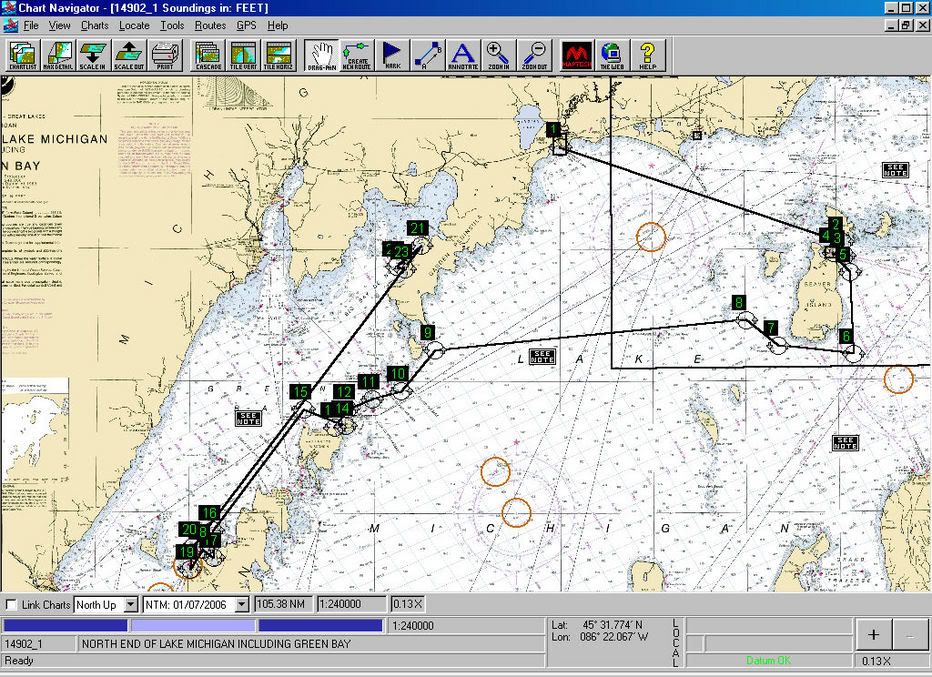
Since Maptech's exclusive agreement with NOAA ended last summer, Maptech is giving away
free raster charts (RNCs). Notice that Maptech bundles them in areas they sell as chart kits. They do not offer the Great Lakes chart kits as free bundles, because those contain other than NOAA charts, i.e. Canadian charts. The same must be true for Alaska, but I don't know why they don't offer the Hawaii and US Virgin Island bundles. At any rate, if you know the chart numbers of NOAA charts of the GL, Hawaii, and Alaska, you can download them individually from MapTech.
You can also download the raster charts free from NOAA
here. The website builds bundles on the fly based on charts you've checked off. You can wind up with some pretty huge ZIP files from here.
At any rate, the bundles from MapTech and NOAA created a different and incompatible directory structure when you unpack them on your computer, but you can move things around.
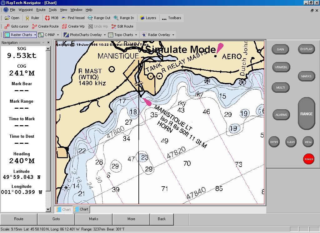
You can also download what NOAA vector (ENC) charts there are
here.
I don't know of free sources for the topo, contour, and 3-D maps included in the Chart Navigator Pro package, but perhaps others here do. Sure wouldn't surprise me if Duane Dunn has the source.
Of course, you'll have to obtain software to use these charts.
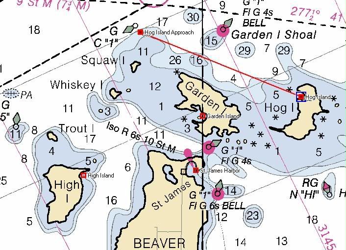
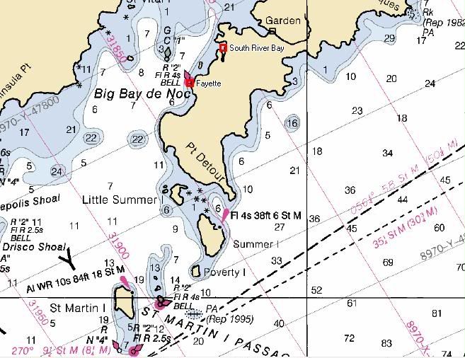
Having downloaded most of the free RNCs, I can testify it's a LOT of work and that $449 doesn't look so expensive when you consider the amount of your time involved.